The most comprehensive and poetic analysis of the distances, elevation changes, and sensations of the trek to Apu Salkantay
Some trails can be measured with GPS, with numbers, with maps.
But Salkantay is not just a set of figures.
It’s a journey where every kilometer feels different depending on the weather, the altitude, the hiker’s mood, and their heart.
Even so, knowing the real distances—not the tourist ones, not the abridged ones—is essential for preparing.
Because Salkantay isn’t improvised.
It’s honored, studied, and experienced firsthand.
This is the most complete guide available, with exact kilometers, variations, altitudes, real sensations, and the spiritual value of each section.
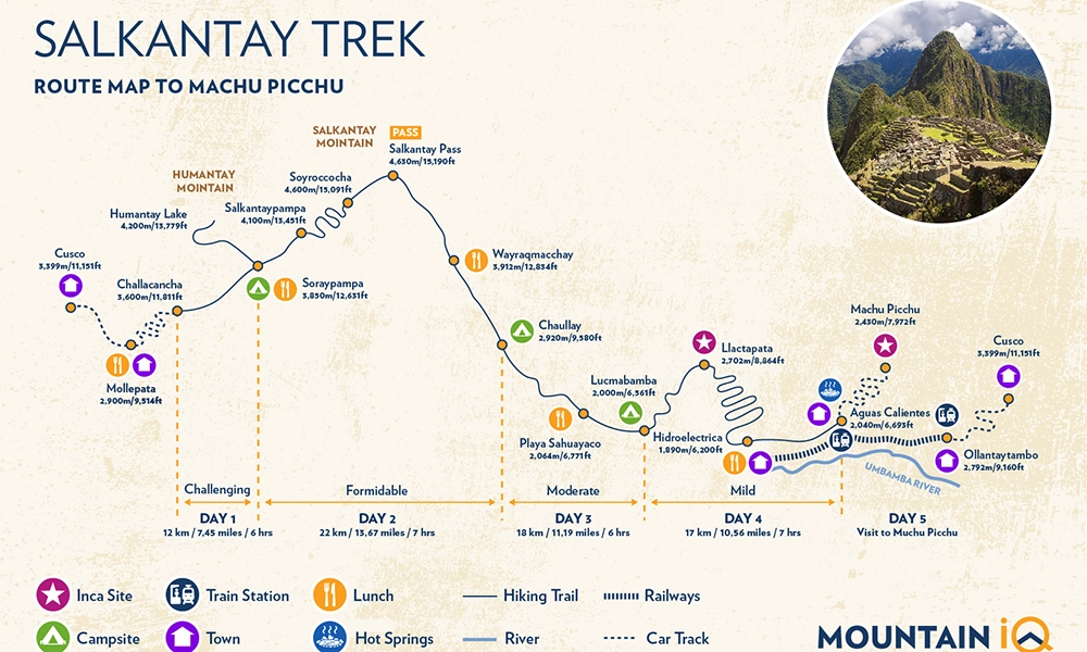
🔢 Actual Total Distance of the Salkantay Trek
💚 Actual Classic Route (without shortcuts):
👉 74 km – 75 km
💛 Shortened Classic Route (without Llactapata):
👉 70 km
❤️ Extended Optional Route (with detours and scenic variations):
👉 78 km – 82 km
Most blogs say “70 km” for simplicity.
But the complete route, including Llactapata, is closer to the actual 75 km.
🗺️ Why the Salkantay Trek distance varies
1. Humantay Lagoon
- If included: +3 km
- If not included: subtracted from the total
2. Llactapata Route
- Adds 3 to 4 km depending on the trail used
- Includes a challenging climb
3. Detours due to weather or landslides
Routes may change during the rainy season.
4. GPS data for each hiker
The measurement is not 100% accurate:
zigzag trails, signal loss, side paths.
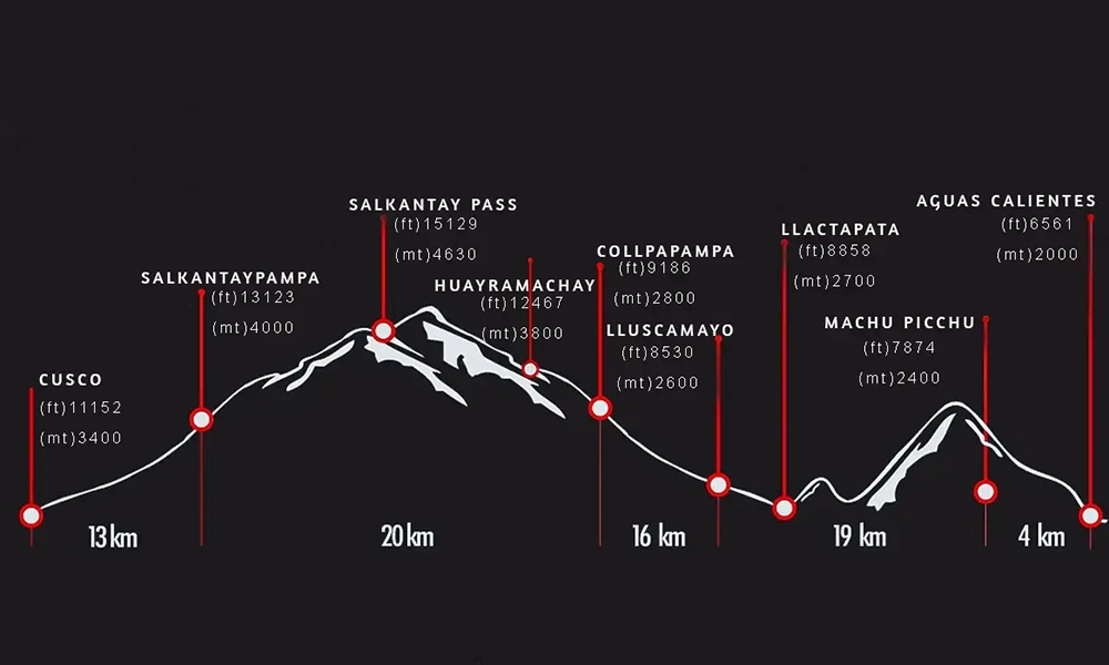
🧭 Actual Distance Day by Day How many kilometers is the Salkantay Trek?
🥾 DAY 1 — Mollepata → Soraypampa (+ Humantay Lagoon optional)
Base distance: 12 km
With Humantay Lagoon: 15 km
Elevation gain: +850 m
📍 Actual section:
- Mollepata (2,850 m)
- Challacancha
- Inca Canal
- Soraypampa (3,900 m)
🧠 How does this day feel?
It’s the day your body starts to remember how to walk at altitude.
The climb is gentle but steady; the air is dry; your legs still need to adjust.
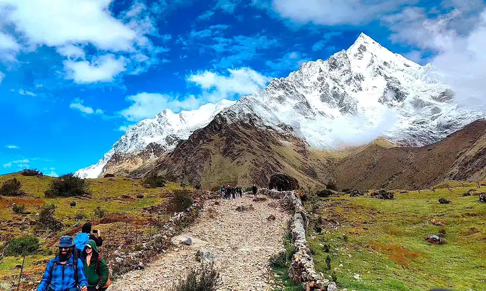
When you reach Soraypampa, the Humantay Glacier appears like a white beacon, almost floating.
💠 Humantay Lagoon:
- Challenging climb
- +1.5 km one way
- +1.5 km return
- +300 meters of elevation gain
A short hike in kilometers, but intense for the heart.
❄️ DAY 2 — Soraypampa → Salkantay Pass → Huayracmachay → Chaullay
Distance: 20 – 22 km
Elevation gain: +700 m
Elevation loss: -1,700 m
Total: over 2,400 meters accumulated
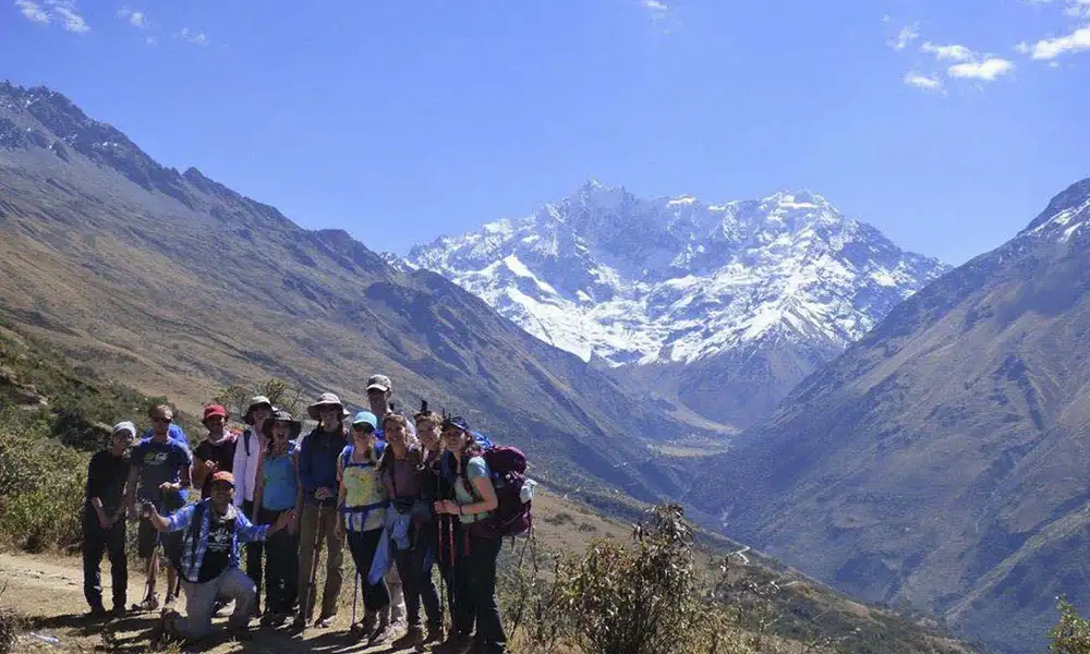
This is the heart of the trek.
The day that separates those who came to follow an itinerary
from those who came to connect with the mountain.
📍 Full section:
- Soraypampa → Salkantaypampa
- Salkantaypampa → Salkantay Pass (4,630 m)
- Pass → Huayracmachay
- Huayracmachay → Chaullay (2,900 m)
🧠 The day’s true feeling:
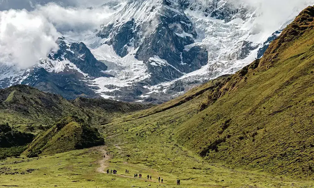
You climb for hours toward the ice.
The air becomes thin, harsh, and cold.
Each step seems small, but it feels like a victory.
The pass is a sacred altar: icy wind, absolute silence, an endless view.
Then, the descent is long, very long.
Your knees ache, your boots get hot, your body trembles from the cold and the exertion.
The vegetation changes:
from the glacier to the ravines, from gray to green.
It’s an epic day.
🌿 DAY 3 — Chaullay → Collpapampa → La Playa / Sahuayaco
Distance: 16 km
Elevation gain: +400 m
Elevation loss: -900 m
📍 Section:
- Chaullay (cloud forest)
- Waterfalls, rivers, orchids
- Collpapampa
- La Playa / Sahuayaco (2,100 m)
🧠 Feeling of the day:
It’s a beautiful transition.
From the cold world of day 2 to warm, humid lands, full of life.
- The hike is gentler, lighter, but steady.
- The rivers roar louder.
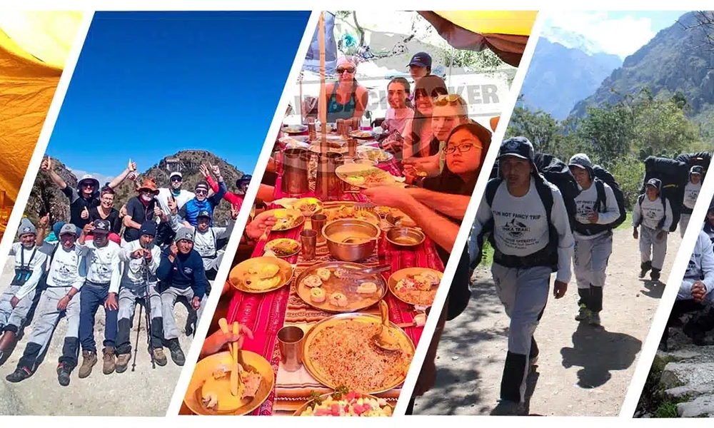
- The high jungle welcomes you with insects, coffee, fruits, and new aromas.
It’s a day where the trail becomes more human.
🌄 DAY 4 — Lucmabamba → Llactapata → Hydroelectric Plant
DISTANCE:
- With Llactapata: 18 km
- Without Llactapata: 15 km
Elevation Change:
- +850 m ascent
- -1,200 m descent
📍 Section:
- Lucmabamba
- Ascent to Llactapata (Inca viewpoint)
- Ruins
- Descent to Hydroelectric Plant
- Walk along the Urubamba River
🧠 Day’s Highlight:
The climb to Llactapata is short but demanding:
a historic trail, ancient stones underfoot, and the surrounding jungle.
And when you reach the top…
Machu Picchu appears on the other side of the valley.
8 km away as the crow flies.
Floating among the clouds.
It’s one of the most poetic moments of the entire trek.
The descent is long and hot.
The jungle climate takes over the trail.
🛤️ DAY 5 — Hydroelectric Plant → Aguas Calientes
Distance: 10–11 km
Elevation gain: +200 m (gentle)
📍 Section:
- Trail parallel to the train
- Rivers, power lines, tropical vegetation
- Huge mountains towering above you
- Aguas Calientes at the end
🧠 Feeling of the day:
It’s a contemplative day.
It’s not as demanding as the previous days, but it prepares you for the grand finale:
Machu Picchu.
The steps are gentle, the landscape is lush, and the sound of the train accompanies the rhythm.
🌌 Distance is a mirror of the soul How many kilometers is the Salkantay Trek?
The kilometers of the Salkantay are not all the same.
- A kilometer at 4,600 meters can feel like three on the plains.
- A kilometer in the cloud forest feels like a hug.
- A kilometer on the train tracks feels like a final sigh.
Because distance doesn’t just measure the path;
it measures your transformation.
The Salkantay is a trail where every step is an act of will.
Where the body converses with the mountain.
Where the soul learns to walk to the rhythm of the wind and the silence.
And when you reach Machu Picchu, you will understand:
You didn’t walk 74 km on the earth…
you walked within yourself.